Many maps are geometrically accurate (or close to a certain) static two-dimensional representation of three-dimensional space, while some others are also functional or interactive and three-dimensional.
Some maps are drawn in a ratio of 1: 10,000. This means that one unit of any measure on the map actually represents 10,000 units of the same size on the ground. The size of the map is almost certain if the area to be mapped is small and does not take into account the circumference of the earth. For example, a town planner's city map does not take into account the circumference of the earth.
To make a map of a large area in which the circumference of the earth cannot be ignored, we have to draw the spherical surface of the earth (circle or ellipse) on a flat surface. The impossibility of representing the sphericality of a sphere on a flat surface meant that measurements could not be constant in any map drawing. In mapping we can get accurate measurements on one or two lines (which do not have to be straight). So for mapping we have to introduce the idea of point measurement which is a function of location and it tries to keep its variability to a minimum. Measurements are specific to name only, but they are accurate enough.
Large-scale maps, such as 1: 10,000, provide detailed information of small provinces, while small-sized maps, such as 1: 10,000,000, provide information about large areas, such as countries, continents, and the world. Words like ‘small’ and ‘big’ come from fractions denoting the size of a map: 1 / 10,000 is greater than 1/10000000. There is no clear distinction between small maps and large maps but 1/100000 can be considered as medium size. 1: 25000 maps designed for hikers can be called large size maps while 1: 250,000 or 1: 1,000,000 maps for drivers can be considered as small size maps.
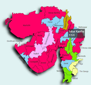
તાલુકો/શહેર કે જિલ્લાનો નકશો
ડાઉનલોડ PDF લિંક
It is important to acknowledge that even the most accurate maps compromise to some extent on the accuracy of the measurements in order to provide well-illustrated information to its users. For example, when the widths of roads and springs are too small to be accurately displayed on a map, their widths are shown to be larger than the actual ones to give the user accurate information about the direction of the road. If roads and springs are shown on a map in proportion to their original width, they will become so small that they may not be visible to the naked eye. The same thing happens with computer maps in which the smallest unit is pixels. The width of a spring is represented on a map, but even if the actual width of the spring is less than one pixel, it is kept the same as the width of the pixels, since computer maps cannot display a size smaller than one pixel.


